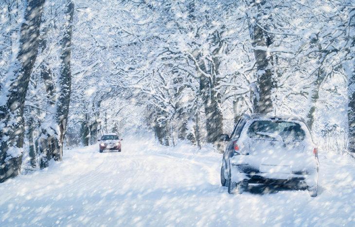
Tip and Tricks on Getting to Big Bear in the Winter
Quick Guide to Winter Travel to Big Bear

Front Way
Front way – from 210 East to Highway 330. This route is the most scenic but also the most curves and shortest distance. During winter this router is very packed and if there is snow fall you MUST carry chains even if your vehicle is AWD or 4WD.
Back Way
Back way – from Apple Valley / Lucerne Valley off the 15 North to Highway 18. This is the flattest but longest way to get here. Climbing the back way in winter may require chains as there are some very steep and icy parts. This route usually has less people in peak winter seasons and we highly recommend it.
Greenspot Road
Greenspot Blvd – off the 210 or 10 in Redlands, this route takes Highway 38 passing Greenspot Farms and dropping you into Sugarloaf towards the east of Big Bear village. This route has easier curves and slower climbing rate and the next easiest way to get to Big Bear during peak winter season.
Always Be Prepared for Inclement Weather
We highly recommend that you check the weather MULTIPLE days in advance and during your trip up to Big Bear as weather conditions can change rapidly especially if a storm is nearby. We use prefer Ben’s Weather as he is a local metrologist and updates the site frequently. Look out for any gusty wind conditions along with the Wind Chill temperature so that you can pack accordingly!
Road Conditions can Change Rapidly
Whenever there is fresh snowfall or rain, the mountain road conditions change very quickly and accidents are bound to happen. ALWAYS – carry chains if there is a winter storm warning during the winter season typically December to March. Here are additional resources to review road conditions.
Traffic and Road Conditions
- https://socalmountains.com/roads/
- Follow Caltrans District 8 on Twitter / X
- Caltrans Road Information Updates: https://roads.dot.ca.gov/
- Google Maps and Waze